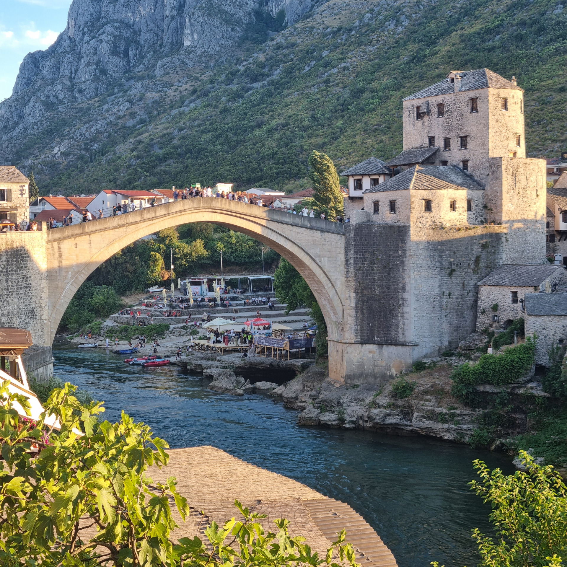
FOSS4G Europe 2025 in Mostar, Bosnia and Herzegovina
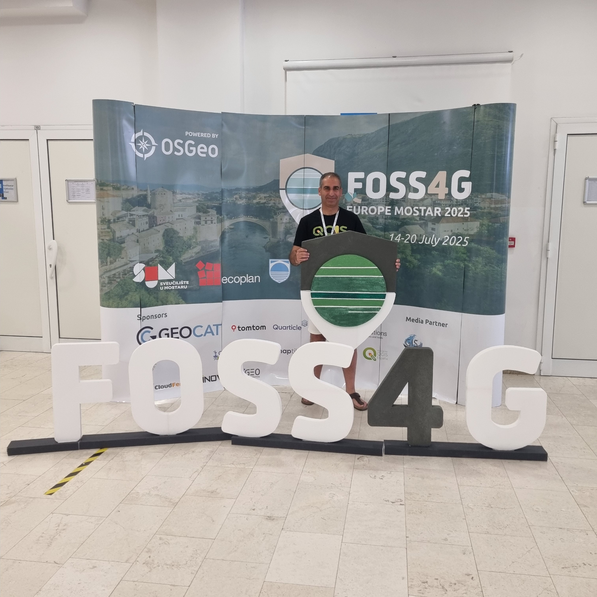
FOSS4G Europe 2025 was organised in Mostar, Bosnia and Herzegovina from 14 - 20 July 2025. The first two days were packed with interesting workshops, followed by three days of inspiring talks from the amazing open source geo community. This blog presents my FOSS4G Europe 2025 journey.
🚆 From Rotterdam to Mostar: My Journey to FOSS4G Europe 2025
As is becoming tradition, I chose public transport over flying to this year's FOSS4G Europe in Mostar, Bosnia and Herzegovina, from 14 to 20 July. The route I mapped out with my trusty Interrail pass: Rotterdam → Vienna → Zagreb → Split → Mostar. What unfolded was part adventure, part chaos, and completely unforgettable.
I set off on 10 July, full of anticipation. But at Brussels North, my connection to Frankfurt was cancelled, derailing my entire plan. Vienna became unreachable that day. What followed was a stressful rerouting effort. After several trains and frantic itinerary calculations, I reached Stuttgart, then boarded the night train to Zagreb.
One particular hitch deserves a 21st-century shoutout: my e-ticket required a printed seat reservation. In a world where digital travel reigns supreme, this felt comically outdated. Luckily, a friendly local print shop helped me out.
I spent a relaxed day in Zagreb sightseeing, then resumed my original route with the night train to Split, where a cozy hostel awaited. A picturesque bus ride brought me to Mostar, and my apartment host warmly picked me up. After dinner with friends from the conference, sleep came easy.
🎓 Workshop Days: Learning, Sharing, Connecting
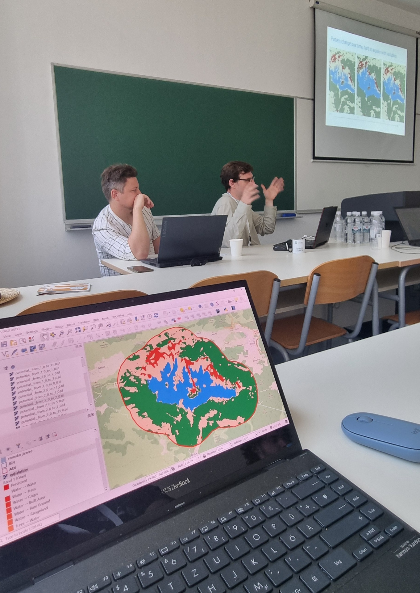
The first two days of the conference (14–15 July) were dedicated to workshops.
In the morning, I attended the Land Cover Dynamics Simulation workshop using the MOLUSCE Plugin in QGIS. Eduard Kazakov and Aleksei Novikov introduced cellular automata ML models for land cover change. It struck a chord, I had worked on similar models at VITO, my previous employer. I'm inspired to create a video and step-by-step tutorial for others keen to explore MOLUSCE.
In the afternoon, the GeoSolutions team led a session on building and consuming 3D urban models. MapStore's capabilities for handling 3D GIS data were impressive.
Afterwards, I joined the guided city tour of Mostar. The city's layered history is reflected in its architecture, cuisine, and culture. Drinks and dinner with colleagues from Provincie Zeeland rounded out the day.
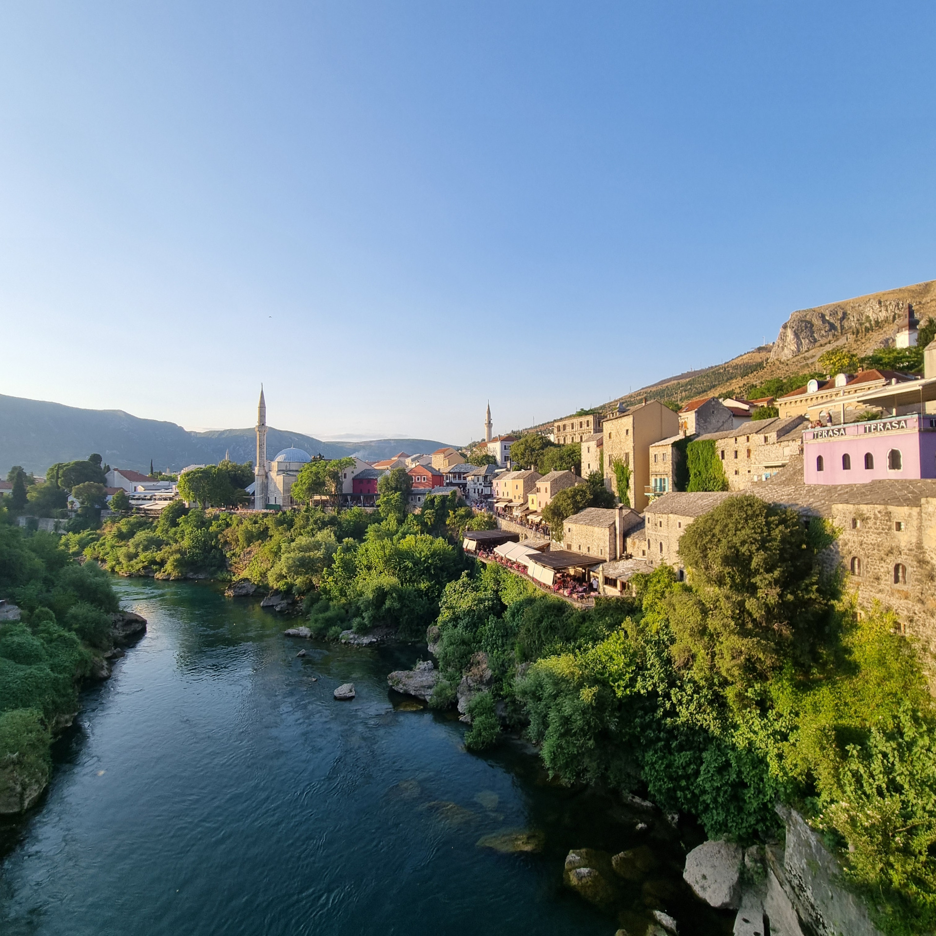
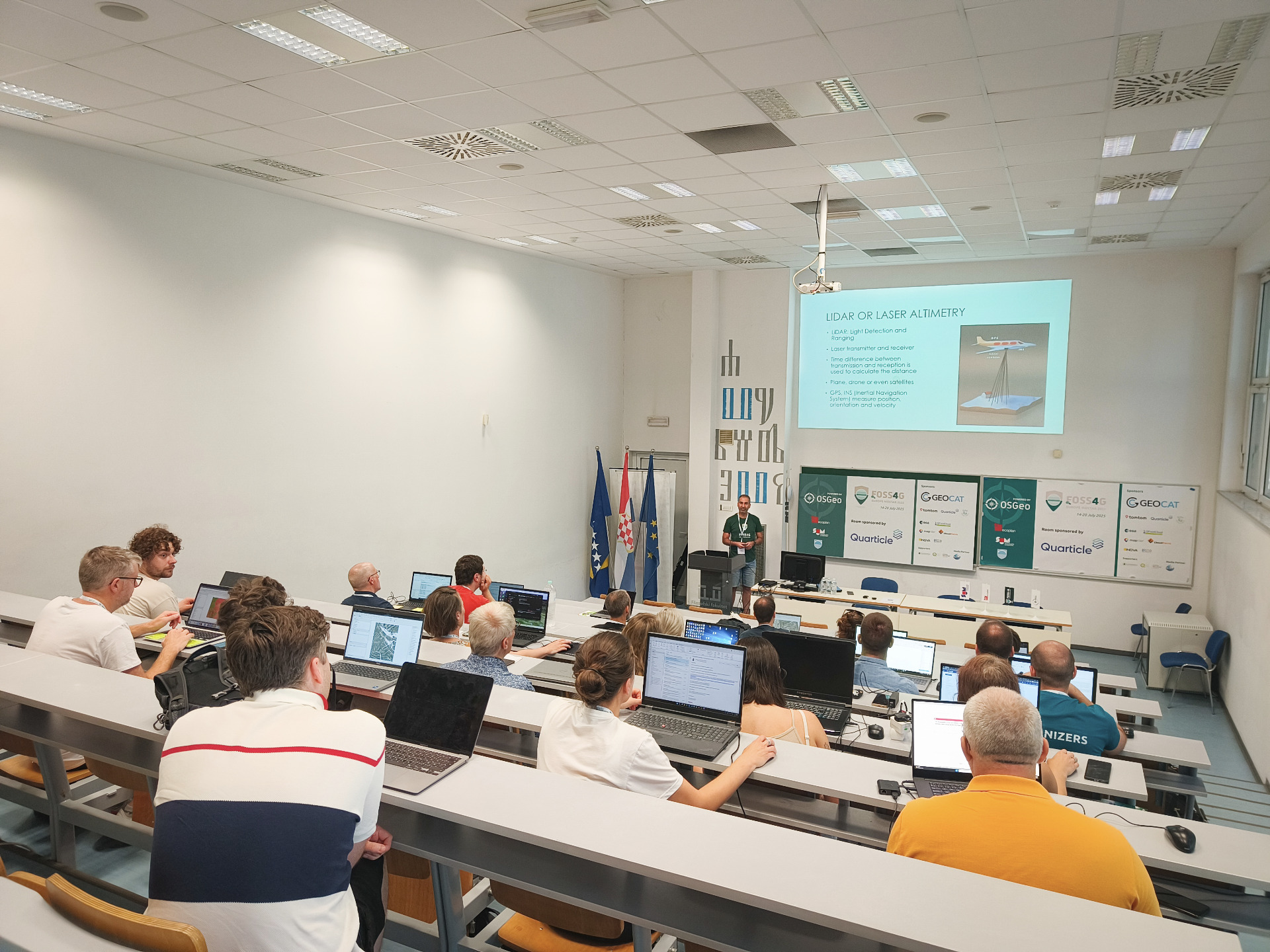
On the second workshop day on 15 July, it was my turn to present! I hosted a workshop on Point Cloud Processing and 3D visualization with QGIS. For this workshop, I extended existing materials with tutorial steps about editing point clouds, which is available since QGIS 3.44. These materials were developed by Kurt Menke and Saber Razmjooei. The entire workshop is available for free at the GIS OpenCourseWare platform.
In the afternoon, I attended the ESA EarthCODE 101 workshop, an intro to a platform for publishing reproducible EO experiments. Bonus: every participant got an ESA duck 🐥!
🏛 Talks and Keynotes on 16 July
On 16 July, after the opening session by conference chair Marko Puljic and speeches by the local authorities, the main conference kicked off with a keynote by Emma Irving. She examined how geospatial tech supports criminal justice, reminding us how our data can serve the courtroom as evidence.
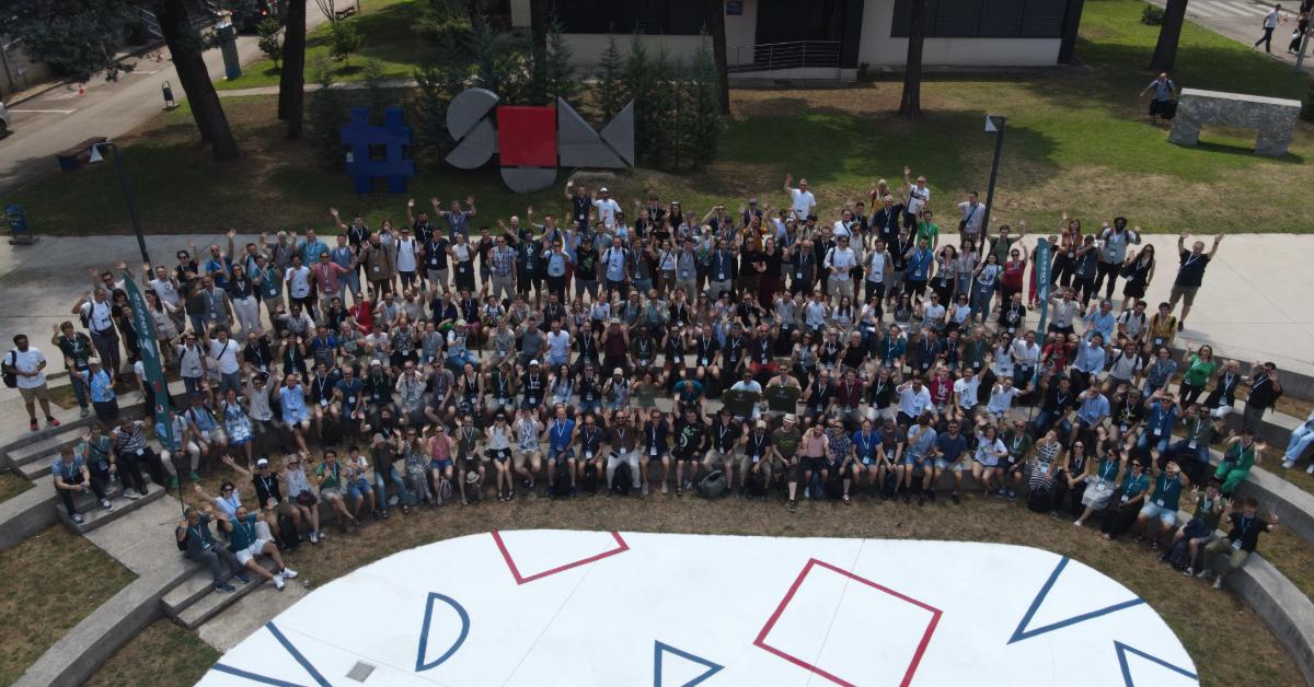
Then we had parallel sessions. I had to chair a session in the morning. The first presentation was by Jukka Rahkonen, Chief specialist from the National Land Survey of Finland and PSC member of GDAL, MapServer and GeoServer. His talk was about georeferencing and publishing more than 30000 historical maps of Finland using FAIR principles. The work reminded me of TopoTijdReis, which is also available as a plugin in QGIS. Hopefully, Finland will also have such a great plugin soon.
The second presentation in that session was from Klaus Agerskov who works for the Danish Nature Agency. He presented about a simplified and adapted QGIS interface that is useful for non-gis users who have this on their laptops in the field vehicles. Interesting to see how the QGIS interface can be modified!
Some highlights from the presentations I attended in the afternoon:
- QGIS Light by Serkan Girgin (ITC/University of Twente). Like Klaus in the morning, he simplified the QGIS interface and created a QGIS Light that can be used by non-GIS specialists, for example those that are doing citizen science. He also discussed challenges with the current QGIS GUI.
- Eduard Kazakov presented about modelling ecosystem services in Armenia using InVEST and publishing results in NextGIS Web GIS.
- The Geosolutions team presented the State of GeoNode. Great to see the progress of this fantastic open source stack for spatial data infrastructures.
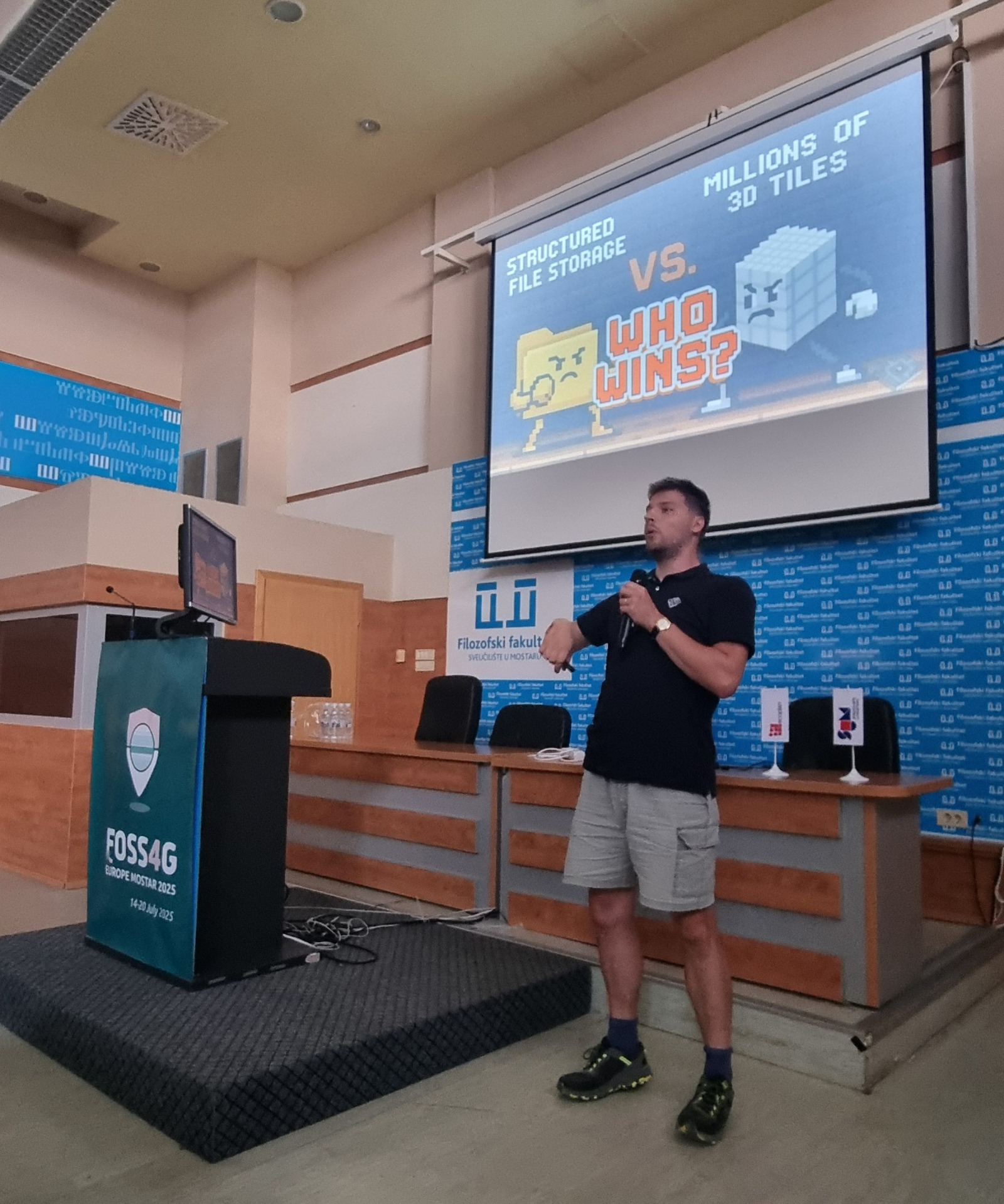
After the coffee break I had to chair another session. The first presentation was by Pirmin Kalberer, co-owner of Sourcepole. He presented workflows for converting 3D formats to 3D tiles and compared software tools like py3dtiles and mago 3DTiler. Next, Léa Vauchier presented how IGN France has classified massive LiDAR data for the national LiDAR HD program. Interesting workflows using open source tools that can be used in other countries too. The most entertaining talk? A showdown between SQLite, DuckDB, and Parquet for 1.3 trillion LiDAR points in Croatia, presented by Viktor Mihoković like a retro game battle. Pure nerd comedy gold!
We wrapped up the day at the TABOO Bar Restaurant for the ice-breaker party.
📚 Projections, Educator Networks & Social Bytes
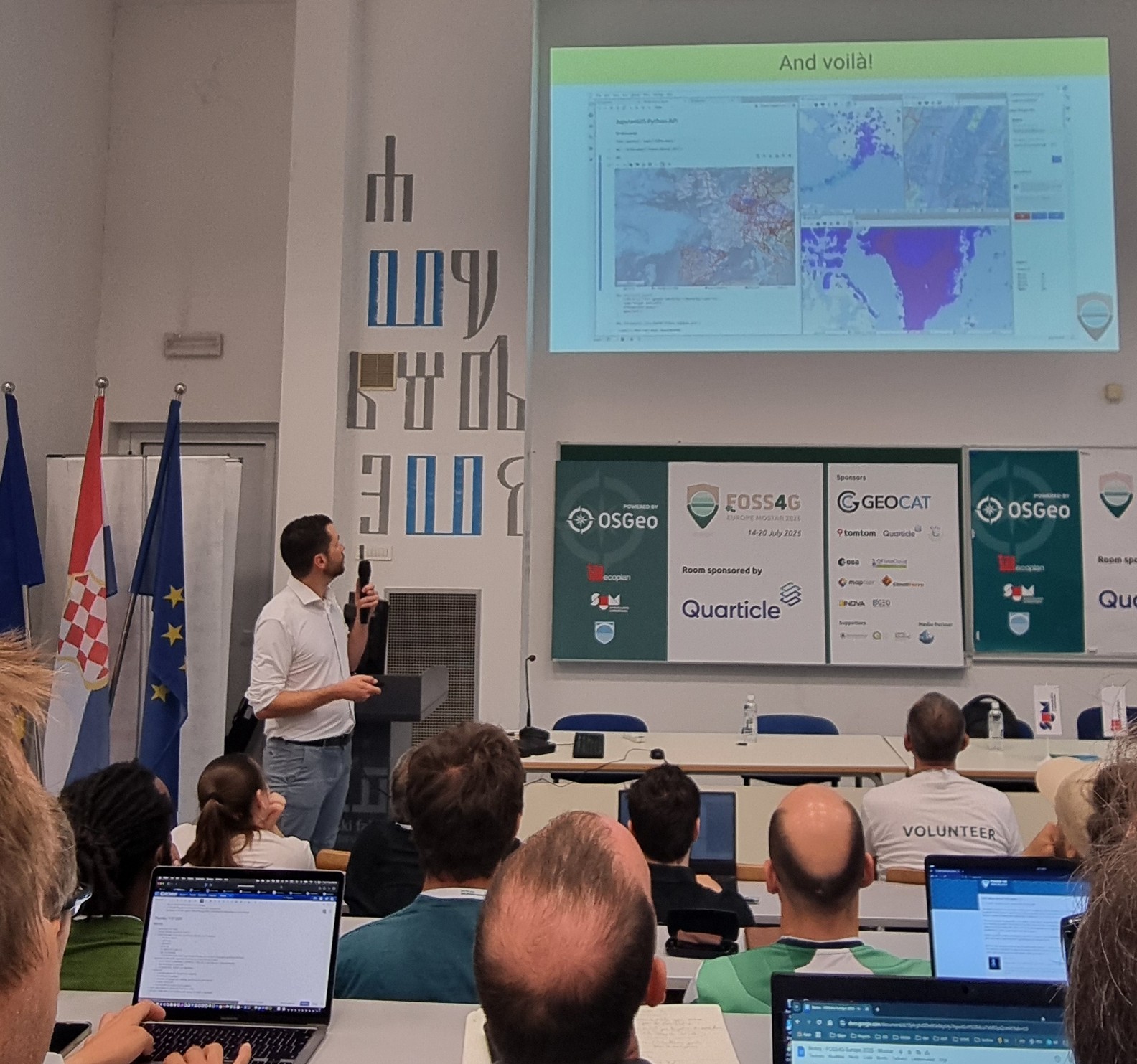
17 July brought more engaging sessions. The day kicked off with an inspiring keynote by Sylvain Corlay (CEO of QuantStack, the team behind major open-source projects of the scientific computing ecosystem such as Jupyter, Conda-forge and Mamba) dove into JupyterGIS and JupyterLite. I'll definitely be using these in my classes.
The keynote was followed by a plenary talk by Jeroen Ticheler, director and owner of GeoCat, founder of GeoNetwork and board member of OSGeo. He took us along his journey and presented about open source software in turbulent times giving us some food for thought.
Some highlights of the talks that I attended on July 17th:
- A presentation from the German GeoNode User Group with lessons learned, presented by Marcel Wallschlägel, Igo Silva de Almeida and Henning Bredel. Great to see that users in Germany have organised themselves to exchange knowledge about GeoNode.
- Another great presentation was from Javier Jimenez Shaw: Mercator is your friend. Javier is PSC member of PROJ and GDAL and always shares is great knowledge about projections. We also discussed the Dutch projection during social activities and it's always great to learn from Javier.
Another interesting presentation about projections was given by Luis Moreira de Sousa. He gave a great overview of Discrete Global Grid Systems (DGGS).
After the talks, I joined a Birds-of-a-Feather session organised by John Bryant for QGIS trainers and educators. We established now a network to exchange our experiences and moving education and training with QGIS forward.
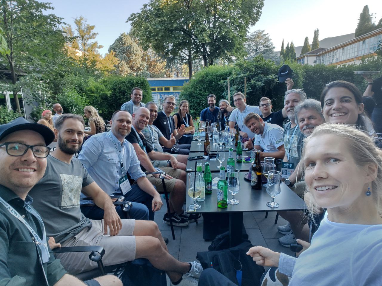
The night closed with the Social Bytes party at the Pavarotti Music Centre with the amazing band AD/HD rocking out.
🎤 Last day of the conference
On 18 July, the last day of the conference, I presented the WaPLugin for QGIS, on behalf of the WaPlugin team. The plugin connects FAO's database with data for water and agriculture (WaPOR) to QGIS. With the plugin you can download and clip data for your study area and it can calculate irrigation performance and productivity indicators. The presentation is related to a workshop given at other FOSS4G and QGIS conferences and can be followed here.
In the same session Maria Guzmán from BGEO presented about Giswater. Giswater is an open-source software platform available as a plugin in QGIS that bridges the GIS with relational databases for the management of water-related structures. It is specifically designed to manage water supply networks, and urban drainage systems and integrate GIS with hydraulic modelling tools like EPANET for water supply networks and SWMM for stormwater and sewer systems, enabling simulations directly from QGIS. It also incorporates inventory management through PostgreSQL Database systems.
Another presentation that I enjoyed was about the great stuff the Geosolutions team is working on in Mapstore, especially the Digital Twin Toolbox, which will offer great features for 3D WebGIS. It will even integrate processing of stereo images such as drone imagery.
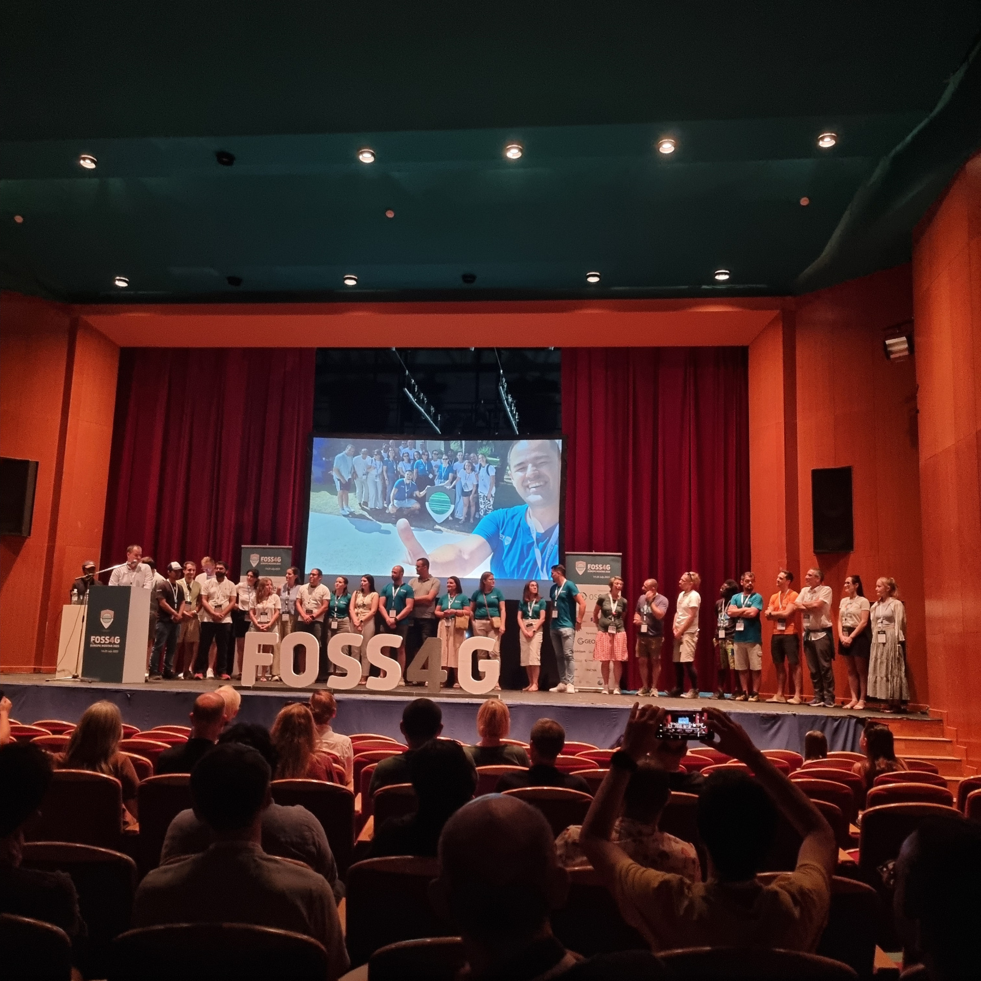
During the Closing Ceremony, the organizers and volunteers were celebrated for their phenomenal job. This conference truly stood out for its warm atmosphere and top-notch logistics. Upcoming international FOSS4G events were announced, although the next FOSS4G Europe destination is still to be decided. The suspense continues!
🧀 Wine, Waterfalls & Bosnian Coffee
On 19 July, I joined the Herzegovina Food and Culture Tour:
First stop: Blagaj, where we marveled at the Buna River spring (Europe's largest, 30 m³/s!) and sipped authentic Bosnian coffee at a terrace near the historic Dervish Tekke House.
We tasted wine and schnapps at Podrumi Andrija Winery in Paoča, paired with delicious cheese and figs.
Then on to the majestic Kravice Waterfalls, followed by a visit to the Franciscan Monastery museum in Humac, Bosnia's oldest museum.
The day ended with a hearty meal at the Tabak Museum. Local culture at its finest.
🏔 Ljubljana, Mountain Views & Cave Wonders
On 20 July my return trip started. I drove with Alen Mangafić and Tomaz Sturm to Ljubljana. From there, I stayed two nights in a tiny house at Tomaz's farm, with breathtaking mountain views. Huge gratitude to Tomaz for being an incredible host.
On 21 July, Tomaz, his son and I visited the Škocjan Caves, a natural wonder with collapsed dolines, underground canyons, stalactites and stalagmites. Absolutely surreal.
On 22 July, I left Ljubljana by train to Innsbruck, where I spent a peaceful evening and morning before heading onward. Right now, I'm in Wuppertal and getting ready for the final stretch to Rotterdam.
For pictures during my trip to and from the conference, check my Instagram posts.
🙌 A Journey Worth Taking
Trains may have derailed me at the start, but everything since has felt serendipitous. From engaging workshops and captivating keynotes to unforgettable landscapes and friendships: the FOSS4G Europe 2025 journey was more than just a conference.
The open-source GIS community keeps getting stronger, more connected, and more inspired. Here's to the next adventure!

